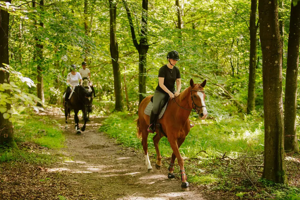
Riding trails in Skrylle
Skrylle offers around 20 km of marked riding trails, from Rögletippen in the west to Revingefältet in the east. The trails run through the forest and across the open fields between Dalby and T Hällestad. The surface varies but consists mostly of gravel tracks and forest roads.
On some paths and forest roads, horse riders, cyclists, joggers and other visitors coexist, which requires everyone to show consideration.
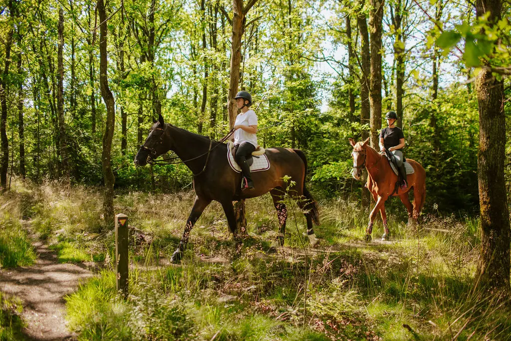
Important to consider
- Always show consideration for others and slow down to a walk when meeting.
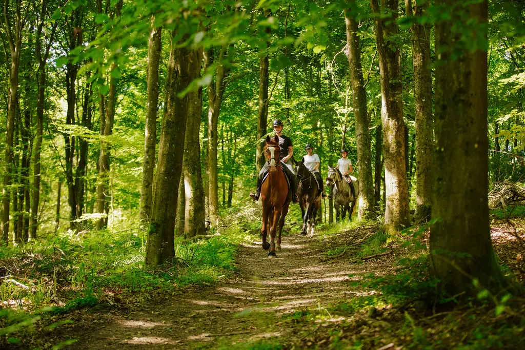
- Only ride on marked riding trails within the nature reserve – they are marked with a riding symbol.
- Outside the nature reserves, the right of public access applies, but exercise great caution to avoid damage to the ground. Do not ride on vacant land, plantations, fields, embankments, soft forest paths, marshes, meadows or pastures.
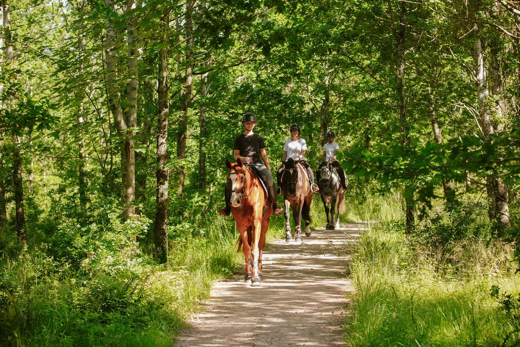
Parking and accessibility
- Parking spaces are available at Rögle landfill and Hällestadsvägen, with space for horse transport.
- The bridle paths pass near these parking lots.
- At the Rögle landfill in the northwest there are many landscaped riding trails, some of which are hilly.
- Where the bridleway crosses the road between Dalby and Sandby, there are ramps for a safer crossing.
Riding map

Click on the map to enlarge or click here to open as PDF. The route of the bridle paths is also available on the interactive map.